Washington County Wilderness
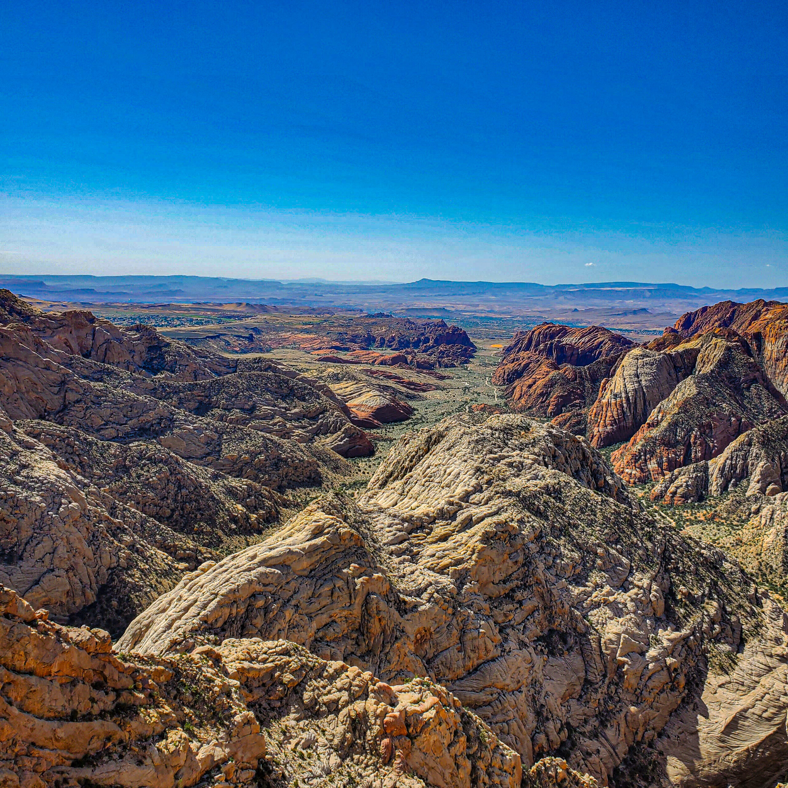
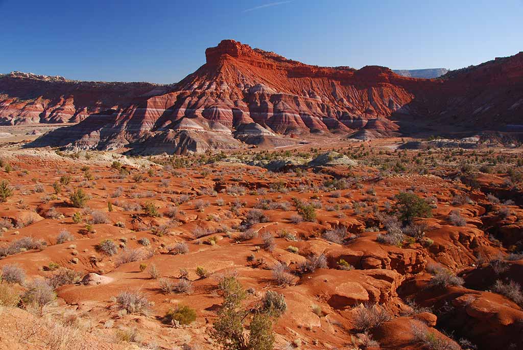
The Land Adjacent to the southeast boundary of Zion National Park, Canaan Mountain Wilderness is comprised of approximately 44,500 acres of public land in Washington County. In this wilderness, an 8-by-10-mile block of Navajo Sandstone, bounded by 2,000-foot-high cliffs, has been sculpted by wind and water over time into a landscape of soaring cliff walls, natural arches, and […]
Poison Spring Canyon
The Land South of the San Rafael Reef reside a conglomerate of magnificent landscapes cut by rivers and split by deep networks of canyons. From the Dirty Devil to the Henry Mountains, these lands feature a diverse array of qualifying wilderness as yet undesignated. The Work We will address graffiti impacts through a series of […]
Canyon Country WSAs 1 – FULL
The Land A multitude of wilderness study areas constitute Moab’s periurban wilderness – magnificent in their scope despite an onslaught of pressures from the nearby community’s thriving recreation industry. Vast proposed wildernesses features are cut by canyons drawn by perennial streams and ephemeral washes, lush with riparian vegetation. Pinyon-juniper forest fills out the higher elevations, […]
Grand Staircase-Escalante: Circle Cliffs 1 – FULL
The Land The 1.7 million-acre Grand Staircase-Escalante National Monument is an extraordinary landscape. The monument is world renowned for its remarkable paleontological discoveries, stunning scenery, and outstanding recreational opportunities. Local communities have benefited with significant increases in tourism, new businesses, population growth, and higher per capita income. Since its designation in 1996, Grand Staircase-Escalante has […]
Canyon Country WSAs 2 – FULL
***This Project Has Been Reserved For A Private Group*** The Land A multitude of wilderness study areas constitute Moab’s periurban wilderness – magnificent in their scope despite an onslaught of pressures from the nearby community’s thriving recreation industry. Vast proposed wildernesses features are cut by canyons drawn by perennial streams and ephemeral washes, lush with […]
Grand Staircase-Escalante: Southern Wilds 1 – OPEN
The Land The 1.7 million-acre Grand Staircase-Escalante National Monument is an extraordinary landscape. The monument is world renowned for its remarkable paleontological discoveries, stunning scenery, and outstanding recreational opportunities. Local communities have benefited with significant increases in tourism, new businesses, population growth, and higher per capita income. Since its designation in 1996, Grand Staircase-Escalante has […]
Cathedral Valley – FULL
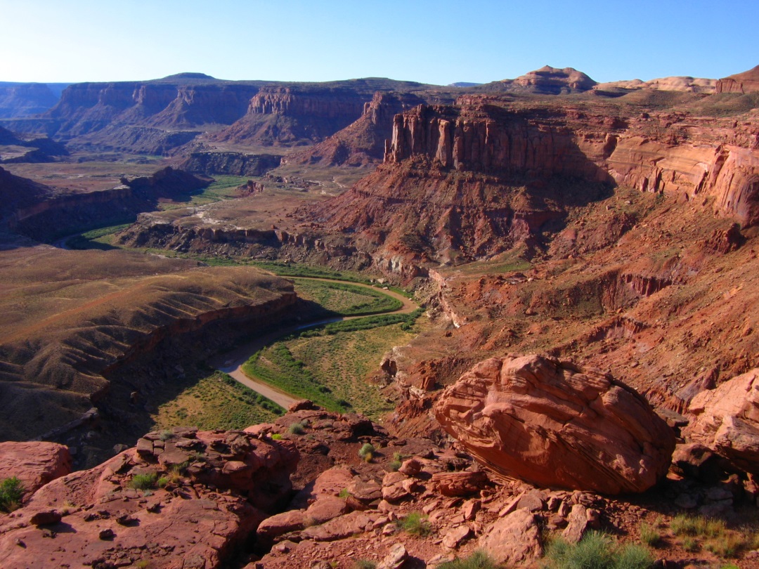
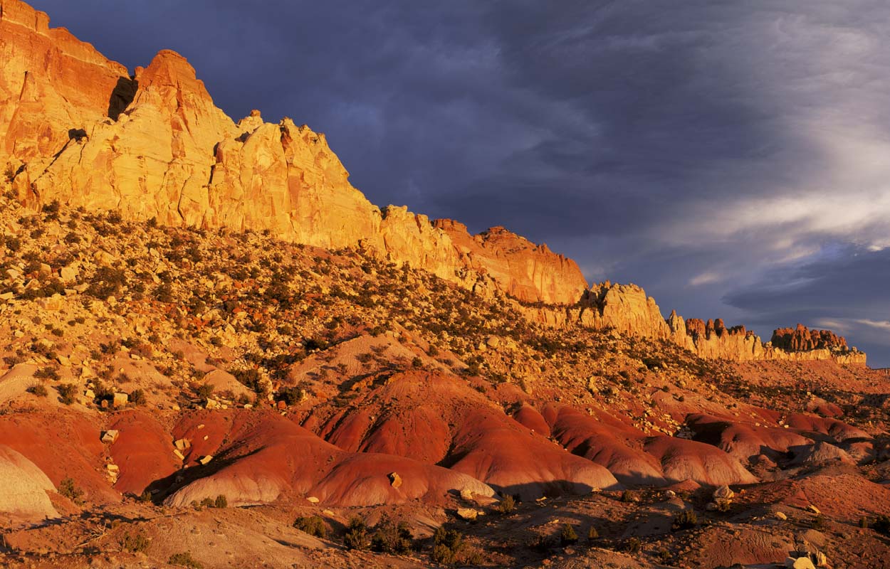
The Land South of the San Rafael Reef reside a conglomerate of magnificent landscapes cut by rivers and split by deep networks of canyons. From the Dirty Devil to the Henry Mountains to Factory Butte, these lands feature a diverse array of wilderness-quality lands as yet undesignated. More sparsely inhabited than many other southern Utah […]
Book Cliffs – FULL
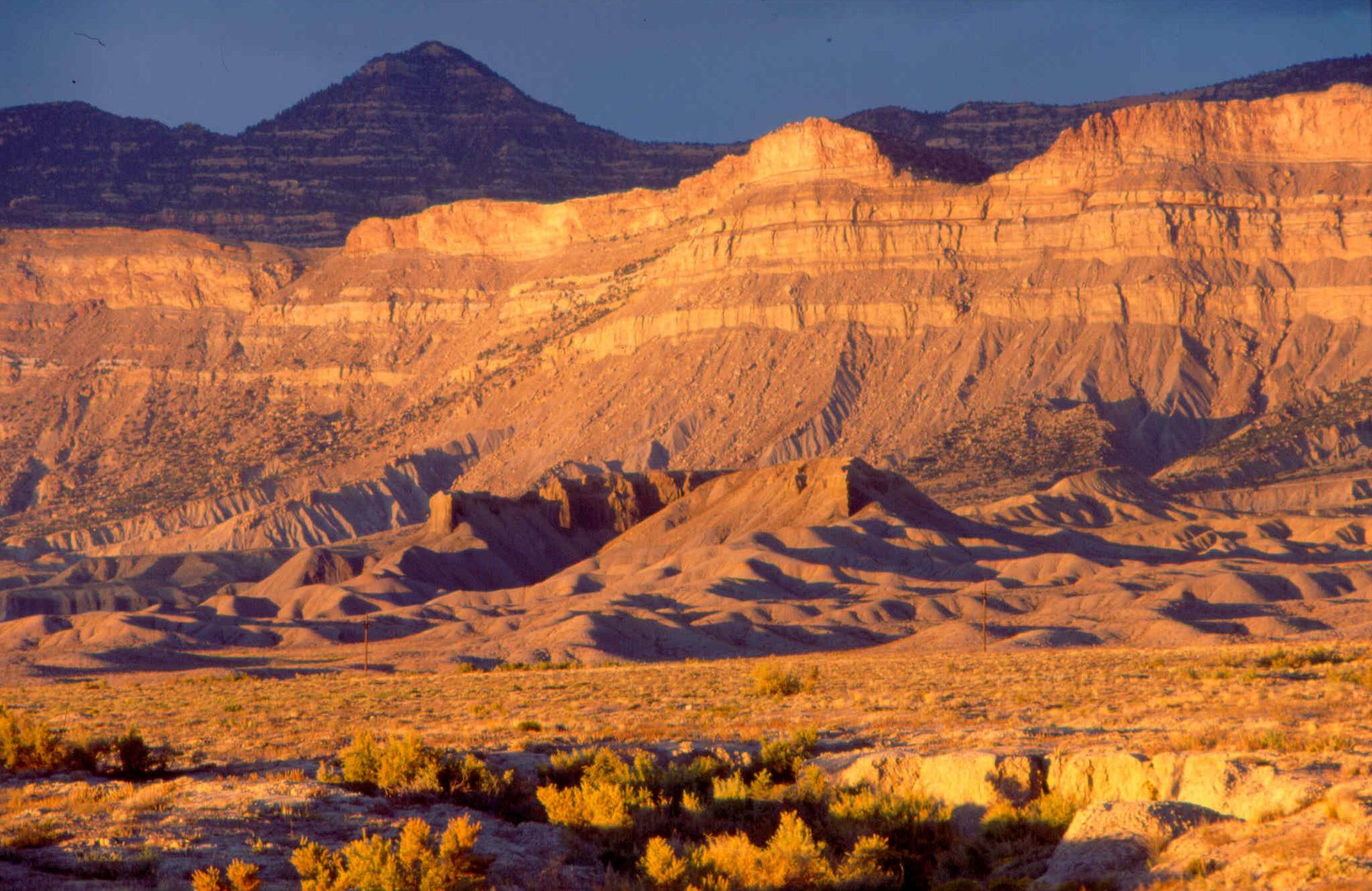
The Land Between Price, Utah and Grand Junction, Colorado, Highway 6 and Interstate 70 cross 170 miles of barren and windswept terrain. The drive would be lonely but for a constant companion: the thousand-foot-high wall of the Book Cliffs that parallels the highway just to the north. Winding for 250 miles across Utah and Colorado, it […]
Bears Ears National Monument Survey – FULL
The Land With the designation of Bears Ears National Monument on December 28th, 2016, a new layer of protection was granted to some of the most spectacular places in southern Utah. There is Cedar Mesa, with its incredible canyons running toward the San Juan River. There is White Canyon to the west of Natural Bridges. […]
Cedar Mountain Wilderness – FULL
The Land The Cedar Mountain Wilderness is located in northwestern Utah. The vegetation on the upper elevations is dominated by junipers, hence the name. The Cedar Mountain Wilderness includes more than half of the 180,000 acres (730 km2) Cedar Mountain Herd Management Area, where feral horses have grazed since they were introduced in the late 19th century. A survey […]
Bears Ears Region 1 – FULL
The Land With the designation of Bears Ears National Monument on December 28th, 2016, a new layer of protection was granted to some of the most spectacular places in southern Utah. There is Cedar Mesa, with its incredible canyons running toward the San Juan River. There is White Canyon to the west of Natural Bridges. […]
West Desert WSAs 1 – Waiting List
The Land Utah’s West Desert is a remote, sprawling collection of magnificent landscapes containing a series of distinctive “island” ranges including the Deep Creek Mountains, the House Range, the Wah-Wahs, Notch Peak, and more. Spanning several counties and hundreds of miles of remote roads, many of the regions spectacular features are protected as wilderness study areas […]
La Sal Mountains – FULL
The Land The Manti-La Sal National Forest covers more than 1.2 million acres (4,900 km2) and is located in the central and southeastern parts of Utah and the extreme western part of Colorado. The La Sal Mountains are located south/southeast of Moab, Utah in Grand and San Juan Counties. The name of the range dates to Spanish times, when […]
Elk Ridge – FULL
The Land With the designation of Bears Ears National Monument on December 28th, 2016, a new layer of protection was granted to some of the most spectacular places in southern Utah. There is Cedar Mesa, with its incredible canyons running toward the San Juan River. There is White Canyon to the west of Natural Bridges. […]
Deep Creek Mountains – FULL
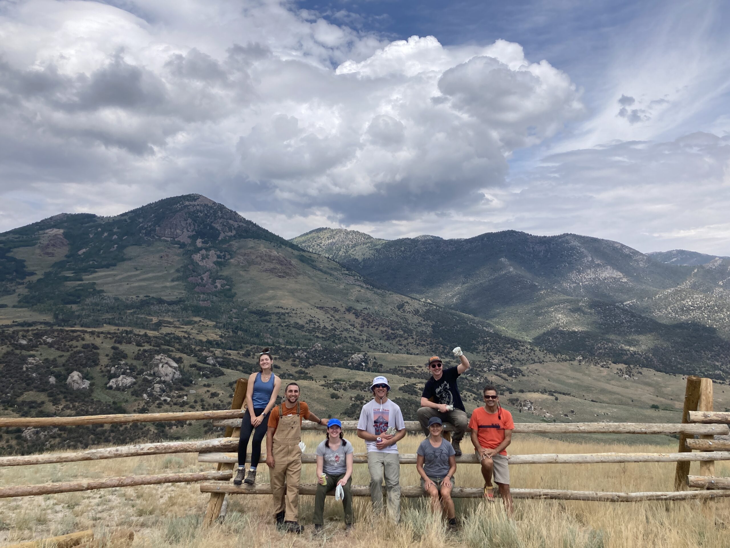
The Land The Deep Creek Mountains, officially the Deep Creek Range (Goshute: Pi'a-roi-ya-bi), are a mountain range in the Great Basin located in extreme western Tooele County and Juab County, Utah, in the western United States. The range trends north-south, 84% in Utah and 16% in Nevada, and is mainly composed of granite. Multiple canyons feature perennial creeks running west to […]
Winter Ridge WSA
The Land As per the BLM's Vernal field office: The main feature in the northern part of the WSA is Main Canyon, a relatively shallow canyon that drains toward the northwest. Tributary canyons and the northern slopes of Winter Ridge comprise the southern portion of the unit. The WSA has year-round populations of cougar, elk, […]
Grand Staircase-Escalante: Circle Cliffs 2
The Land The 1.7 million-acre Grand Staircase-Escalante National Monument is an extraordinary landscape. The monument is world renowned for its remarkable paleontological discoveries, stunning scenery, and outstanding recreational opportunities. Local communities have benefited with significant increases in tourism, new businesses, population growth, and higher per capita income. Since its designation in 1996, Grand Staircase-Escalante has […]
West Desert WSAs 2
The Land Utah’s West Desert is a remote, sprawling collection of magnificent landscapes containing a series of distinctive “island” ranges including the Deep Creek Mountains, the House Range, the Wah-Wahs, Notch Peak, and more. Spanning several counties and hundreds of miles of remote roads, many of the regions spectacular features are protected as wilderness study areas […]
Dolores Triangle
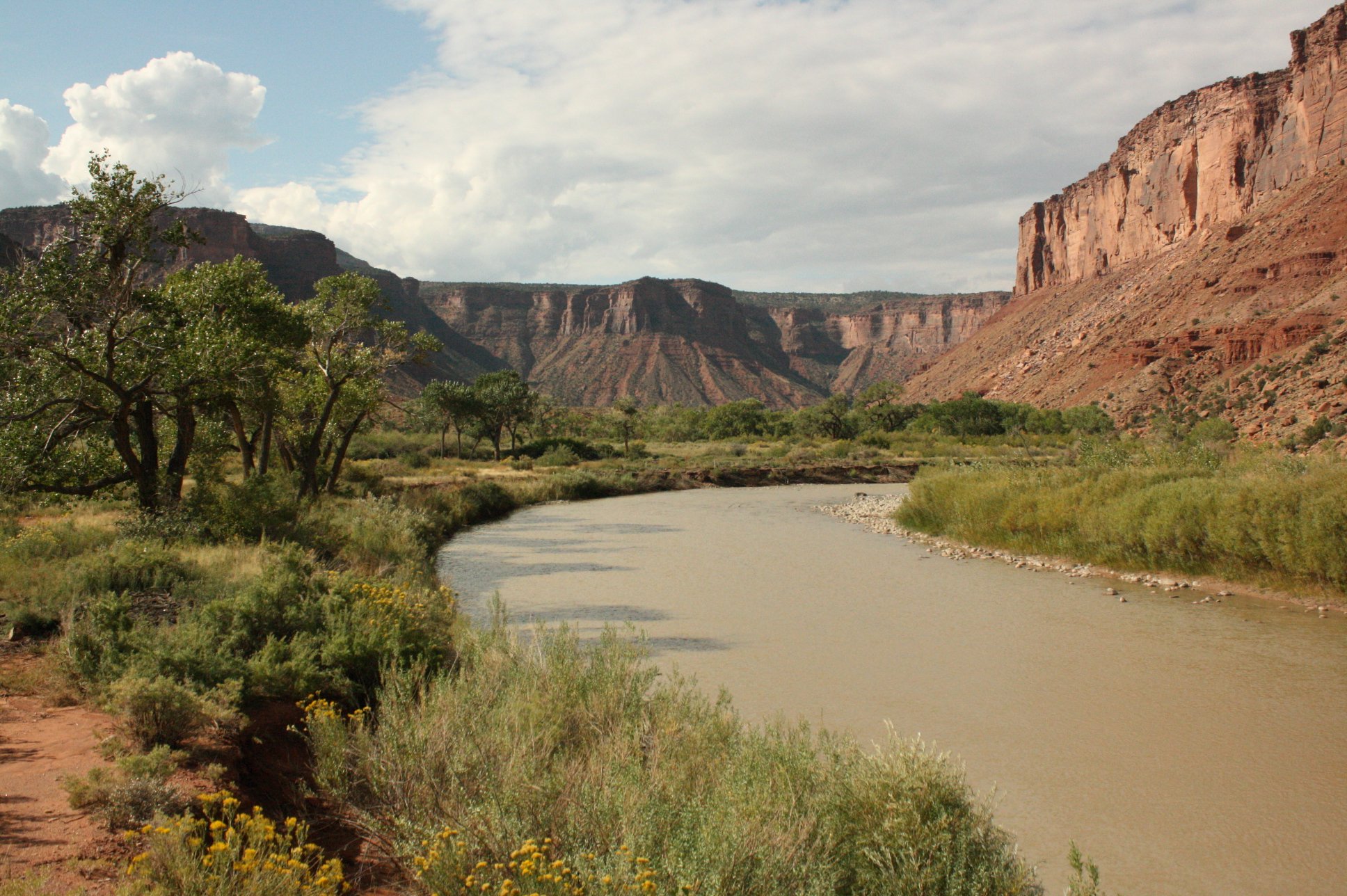
The Land Near to the border of Colorado and Utah, relative to the confluence of the Dolores and Colorado Rivers, and in one of the more remote reaches of BLM land under purview of the BLM’s Canyon Country District Office, the Dolores Triangle is home to a variety of protected species of flora and fauna. […]
Westwater Canyon WSA: National Public Lands Day Volunteer Appreciation Rivertrip – Waiting List
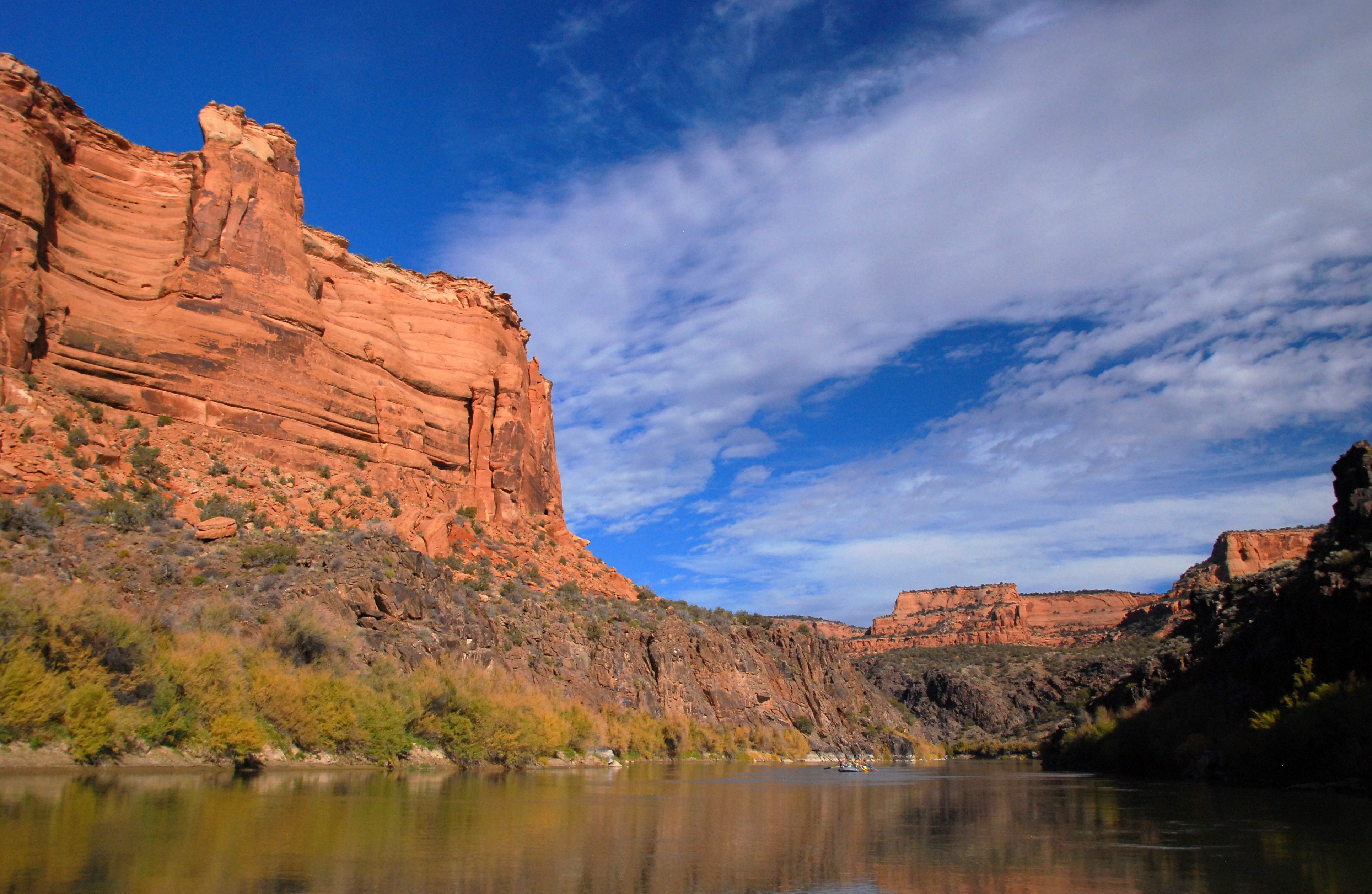
The Land The Westwater Canyon WSA spans the Westwater Canyon portion of the Colorado River with the eastern two-thirds of these protected lands located in the Dolores Triangle. Major tributary canyons on the east side of the river include Little Dolores, Marble, and Star canyons. A short box canyon, Little Hole, and a rincon (Big […]
Grand Staircase-Escalante: Southern Wilds 2
The Land The 1.7 million-acre Grand Staircase-Escalante National Monument is an extraordinary landscape. The monument is world renowned for its remarkable paleontological discoveries, stunning scenery, and outstanding recreational opportunities. Local communities have benefited with significant increases in tourism, new businesses, population growth, and higher per capita income. Since its designation in 1996, Grand Staircase-Escalante has […]
Bears Ears Region 2
The Land With the designation of Bears Ears National Monument on December 28th, 2016, a new layer of protection was granted to some of the most spectacular places in southern Utah. There is Cedar Mesa, with its incredible canyons running toward the San Juan River. There is White Canyon to the west of Natural Bridges. […]
University of Utah Alternative Break Stewardship Day
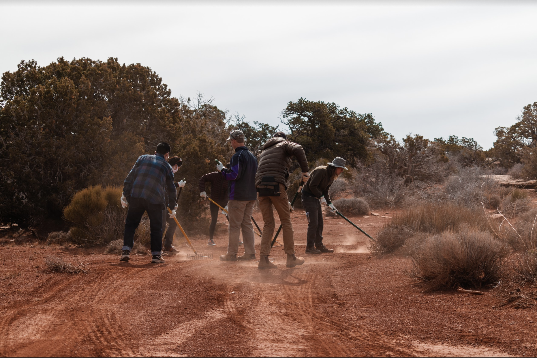
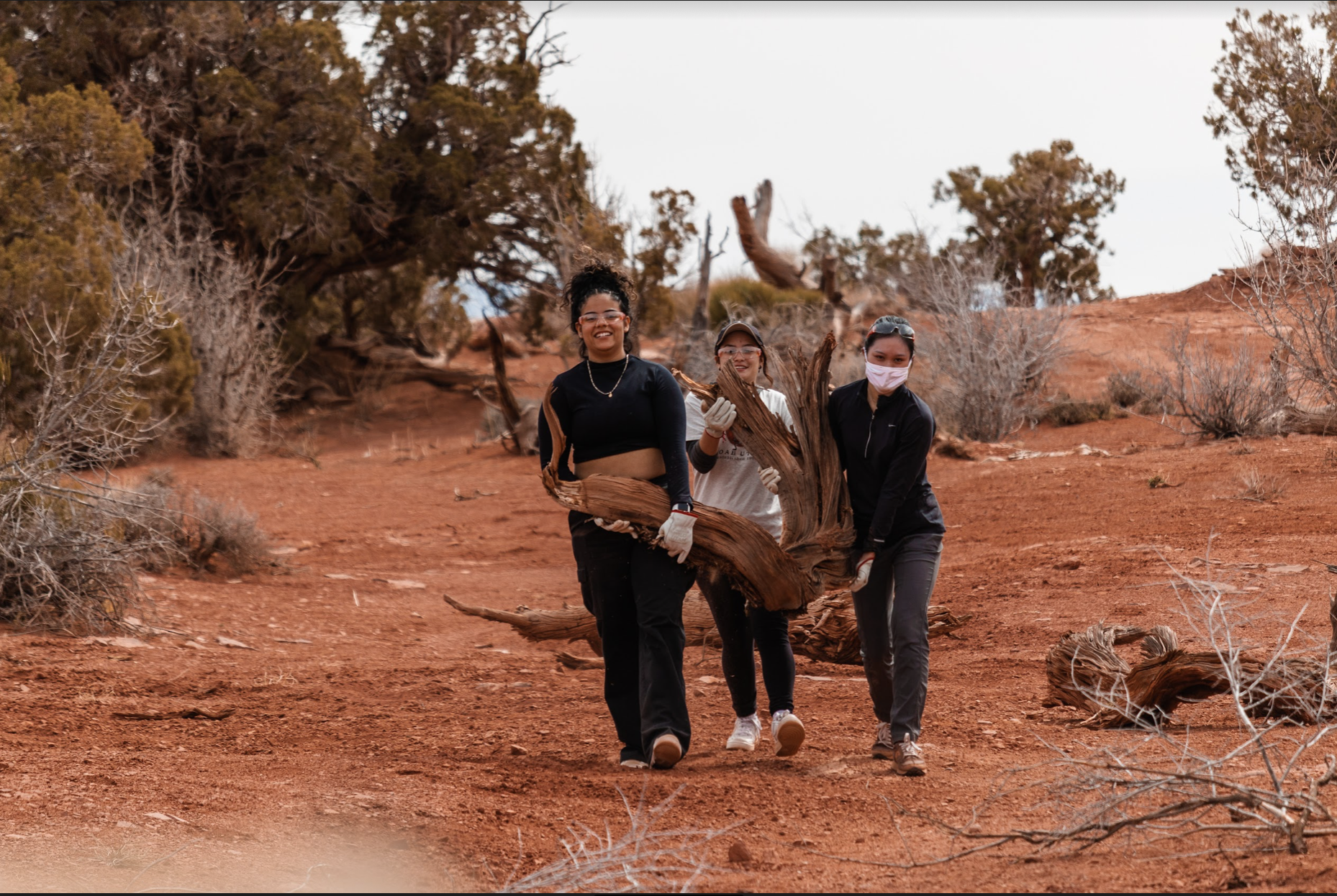
The Partnership Every year our Stewardship Program partners with the University of Utah's Bennion Center to provide an in-field Stewardship Day to teach students about wilderness, public lands, land management and the nitty-gritty of practical land-restoration strategies. This is an opportunity exclusively for students attending a University of Utah Alternative Break Program. The Work Illegal […]
West Desert WSAs 3 – Volunteers Needed – 1 Spot Available
The Land Utah’s West Desert is a remote, sprawling collection of magnificent landscapes containing a series of distinctive “island” ranges including the Deep Creek Mountains, the House Range, the Wah-Wahs, Notch […]
Green River Corridor
The Land Between Price, Utah and Grand Junction, Colorado, Highway 6 and Interstate 70 cross 170 miles of barren and windswept terrain. The drive would be lonely but for a […]
Blue Spires
The Land South of the San Rafael Reef reside a conglomerate of magnificent landscapes cut by rivers and split by deep networks of canyons. From the Dirty Devil to the […]

