Events
-
-
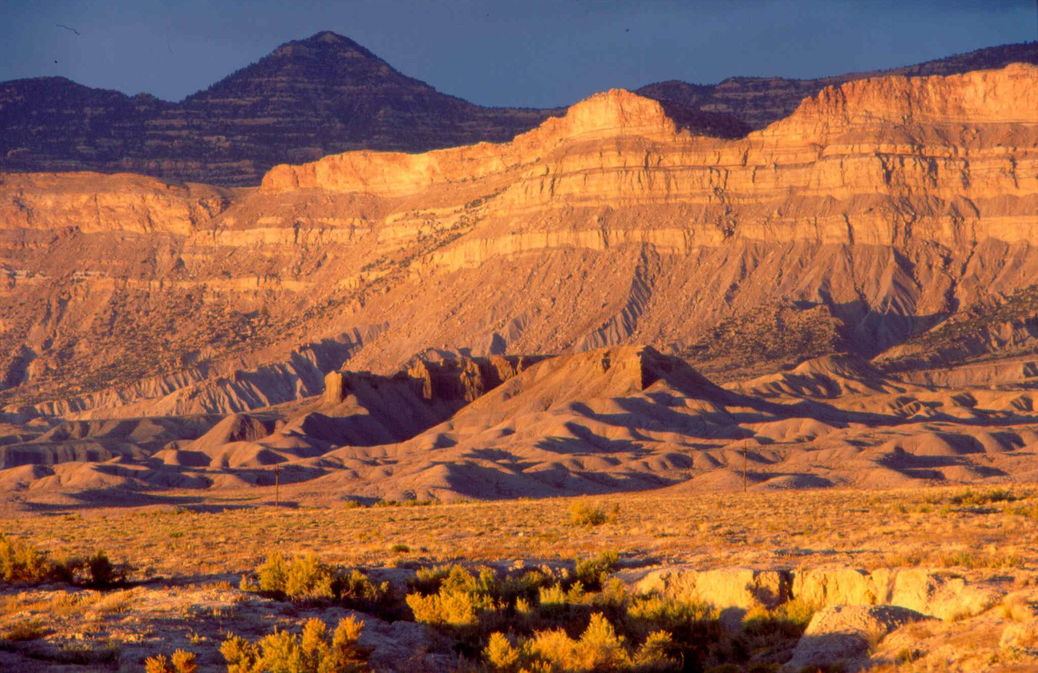
Green River Corridor
The Land Between Price, Utah and Grand Junction, Colorado, Highway 6 and Interstate 70 cross 170 miles of barren and windswept terrain. The drive would be lonely but for a […]
-
-

Blue Spires
The Land South of the San Rafael Reef reside a conglomerate of magnificent landscapes cut by rivers and split by deep networks of canyons. From the Dirty Devil to the […]
-
-

Canyon Country WSAs – FULL
**THIS PROJECT IS FULL** SUWA occasionally reserves projects for student groups, nonprofits, and other organizations seeking to engage on the issues primary to our mission. Contact volunteer@suwa.org for more information. […]
-

Bears Ears: Comb Ridge Protection & Monitoring
The Landscape Sitting within Bears Ears National Monument, Comb Ridge's dramatic, 80-mile monocline curves across the center of the Colorado Plateau. It is home to stunning vistas, enchanting side canyons […]
-
-
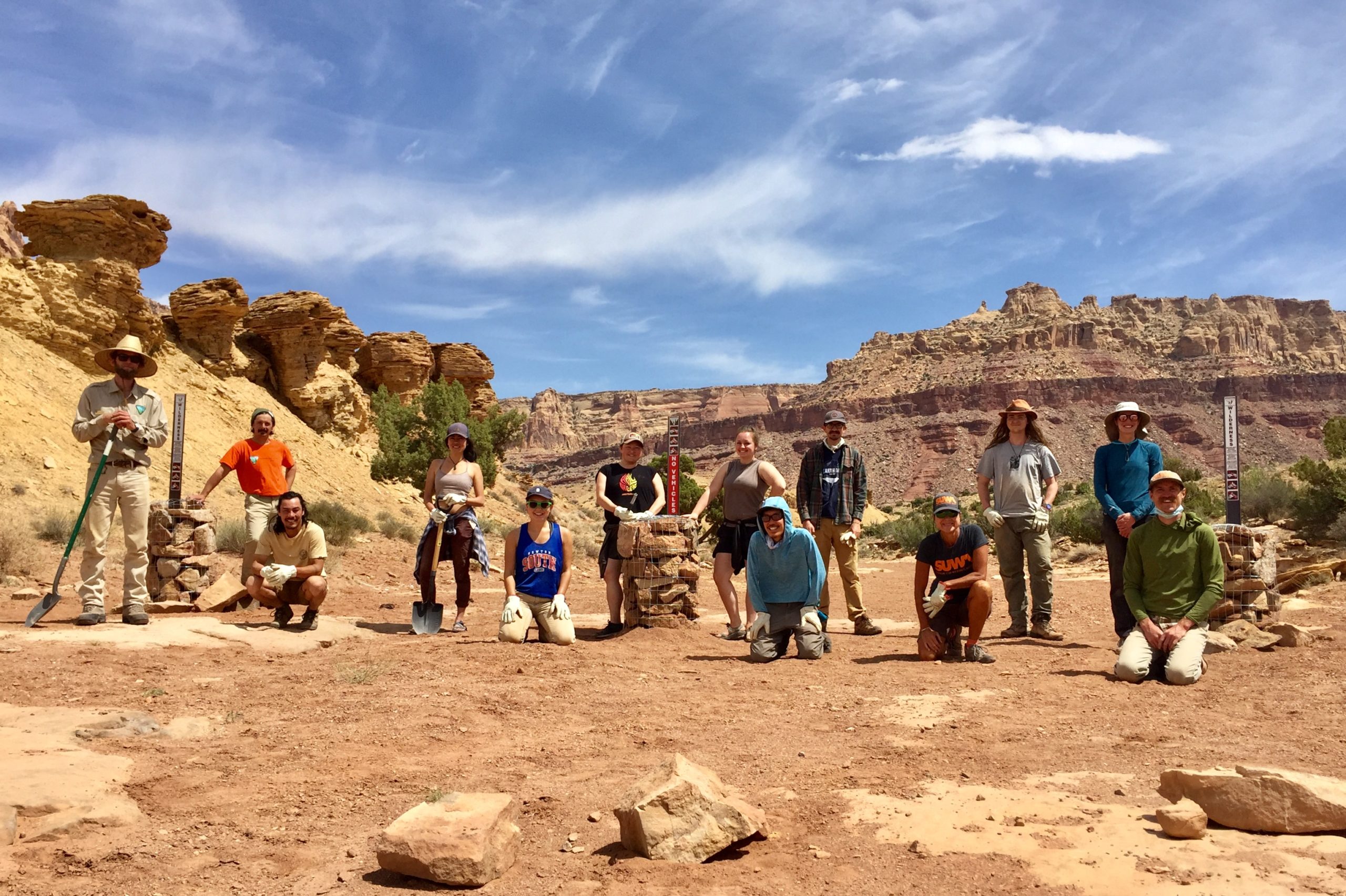
San Rafael Swell: Wilderness Implementation 1 – TWO LAST MINUTE OPENINGS
The Landscape On March 12, 2019, the Emery County Public Land Management Act was signed into law as the John D. Dingell Jr. Conservation, Management, and Recreation Act. As part […]
-

Grand Staircase-Escalante: Recreation Restoration – FULL
**THIS PROJECT IS FULL** SUWA occasionally reserves projects for student groups, nonprofits, and other organizations seeking to engage on the issues primary to our mission. Contact volunteer@suwa.org for more information. […]
-

West Desert: House Range WSAs Protection & Monitoring
The Landscape Utah’s West Desert is a remote, sprawling collection of magnificent landscapes containing a series of distinctive “island” ranges including the Deep Creek Mountains, the House Range, the Wah-Wahs, […]
-
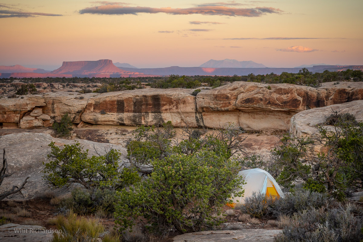
Bears Ears: Cedar Mesa Naturalization 1 – WAITLIST
The Landscape With the designation of Bears Ears National Monument on December 28th, 2016, a new layer of protection was granted to some of the most spectacular places in southern Utah. Cedar Mesa, a canyon-cut expanse of pinyon-juniper forest, offers a refuge for wildlife and humans alike. Cedar Mesa holds a wide variety cultural sites, […]
-
-

Sego Lily WSA: Recreation Restoration – WAITLIST
The Landscape The Sego Lily Wilderness Study Area (WSA) sits within 'The Lands In Between," which refers to an archeologically rich corridor between protected areas such as Bears Ears National Monument and Hovenweep National Monument in Utah, and Canyons of the Ancients National Monument in Colorado. This region is without designated protections, despite its incredible […]
-

Burr Trail Scenic Backway: WSA Protection & Monitoring – 1 OPENING
The Landscape The 1.7 million-acre Grand Staircase-Escalante National Monument is an extraordinary landscape. The monument is world renowned for its remarkable paleontological discoveries, stunning scenery, and outstanding recreational opportunities. Local communities have benefited with significant increases in tourism, new businesses, population growth, and higher per capita income. Since its designation in 1996, Grand Staircase-Escalante has […]
-
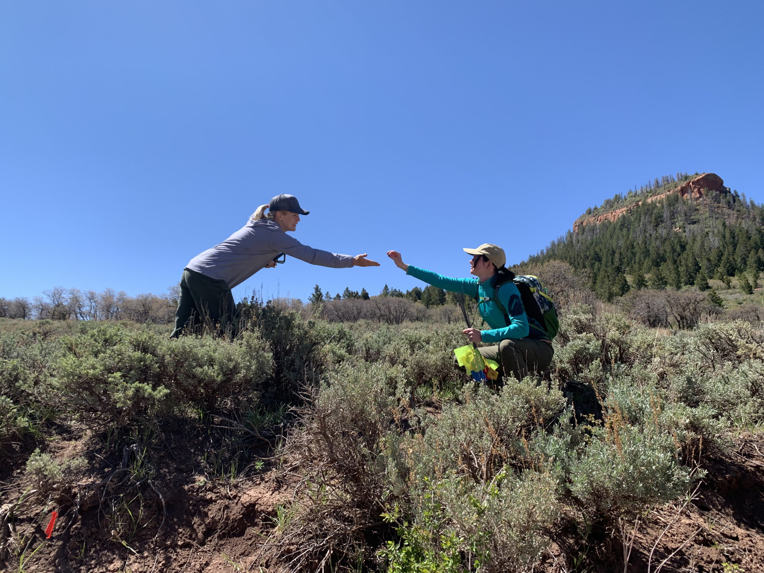
Bears Ears: Cultural Site Survey – WAITLIST
**It is an honor and privilege to visit these sites and support their protection. Participants must understand that this is a sacred landscape and treat sites with the utmost care and respect.** The Landscape With the designation of Bears Ears National Monument on December 28th, 2016, a new layer of protection was granted to some […]
-

Grand Staircase-Escalante: WSA Boundary Implementation – 2 OPENINGS
**This is a roving project on high-clearance 4x4 roads in extremely remote country. Applicants will be screened for extensive backcountry travel experience. Participants will bring their own high-clearance vehicle and recovery equipment OR be willing to be a passenger in a SUWA vehicle for the extent of the project.** The Landscape The 1.7 million-acre Grand […]
-

Dark Canyon Wilderness: Backpacking & Habitat Restoration – WAITLIST
**THIS PROJECT INVOLVES MULTI-DAY BACKPACKING** The Landscape With the designation of Bears Ears National Monument on December 28th, 2016, a new layer of protection was granted to some of the most spectacular places in southern Utah. Covering a vast region, Bears Ears is co-managed by the Bears Ears Inter-Tribal Coalition, the Bureau of Land Management […]
-

Cedar Mountain Wilderness – FULL
**THIS PROJECT IS FULL** SUWA occasionally reserves projects for student groups, nonprofits and other organizations seeking to engage on the issues primary to our mission. Contact volunteer@suwa.org for more information. The Landscape The Cedar Mountain Wilderness is located in northwestern Utah. The vegetation on the upper elevations is dominated by junipers, hence the name. The Cedar Mountain Wilderness […]
-
-
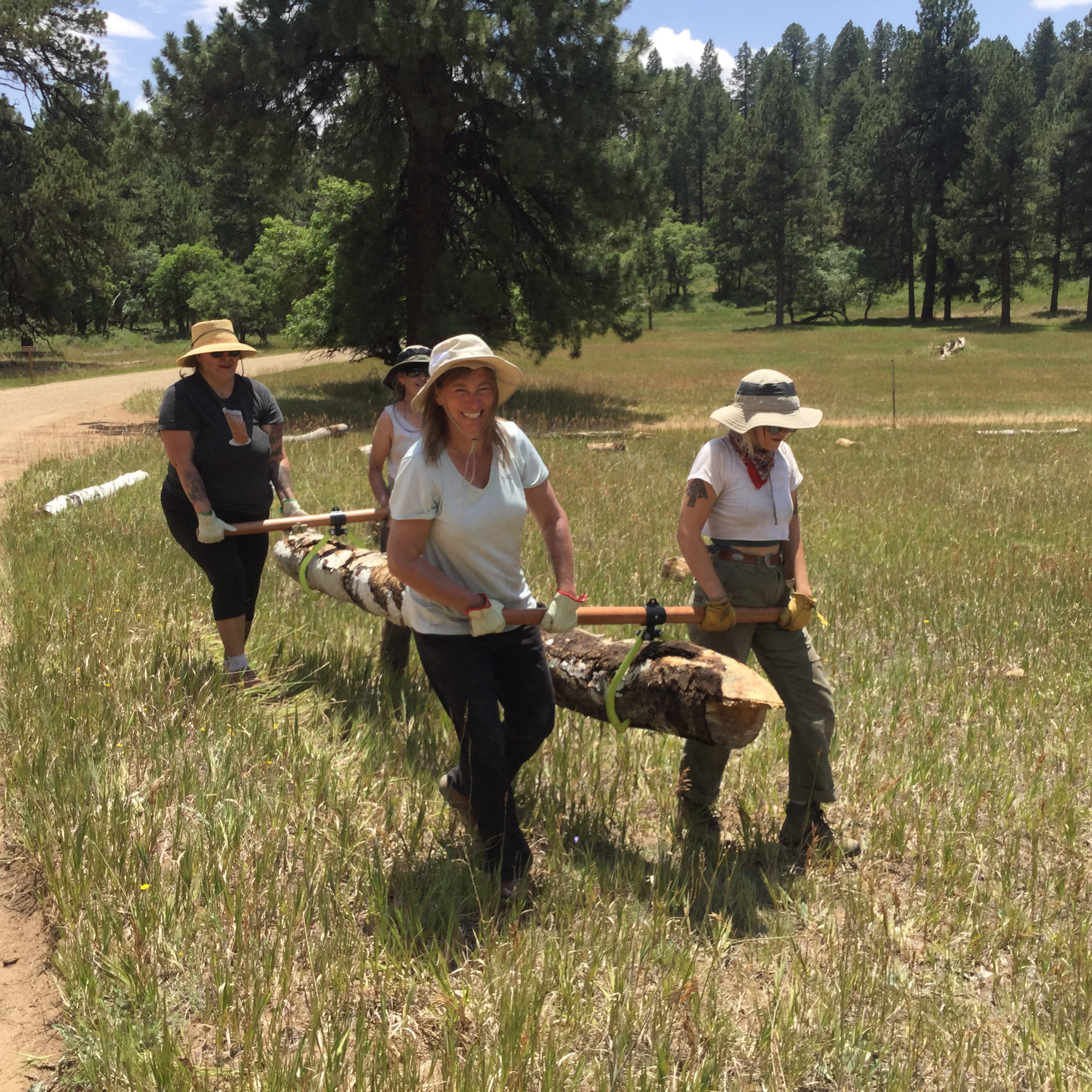
Bears Ears: Elk Ridge – LAST MINUTE OPENINGS
The Landscape In October of 2021, President Biden signed a proclamation restoring Bears Ears National Monument to its full, original boundaries - reinstating protection to some of the most spectacular places in southern Utah. There is Cedar Mesa, with its incredible canyons running toward the San Juan River. There is White Canyon to the west […]
-

Dino North: WSA Boundary Implementation – FULL
Contact volunteer@suwa.org for more information. The Landscape On the eastern flank of the Uinta Mountains, small units of intact wilderness-quality lands support pinyon-juniper woodland intermixed with mountain mahogany, serviceberry, and big sagebrush. Ponderosa pines, remnants from last century's cooler climes, stand watch over tributaries of the Green River. Significant cultural resources such as rock art, […]
-
-

Tavaputs Plateau: WSA Protection & Monitoring
**THIS PROJECT REMAINS IN DEVELOPMENT** Contact volunteer@suwa.org for more information. The Landscape Winter Ridge Wilderness Study Area (WSA) is located on the Tavaputs Plateau within the Book Cliffs in east-central Utah. Relatively shallow canyons within Winter Ridge WSA drain northward toward the Uinta Basin, altering their directional course to join the Green River as it […]
-

Deep Creek Mountains: Backpacking & Recreation Restoration – WAITLIST
This is a backpacking project designated highly strenuous. Our crew will backpack into site, camping for (2) nights to complete the project, then hike out as a team. Though the distances aren't long (4-5 mile roundtrip) the terrain is uneven and challenging. We will vet our volunteers accordingly. If you have any questions, please do […]
-
-

La Sal Mountains: Meadow Restoration & Protection
The Landscape The Manti-La Sal National Forest covers more than 1.2 million acres (4,900 km2) and is located in the central and southeastern parts of Utah and the extreme western part of Colorado. The La Sal Mountains are located south/southeast of Moab, Utah in Grand and San Juan Counties. The name of the range dates to Spanish times, when […]
-
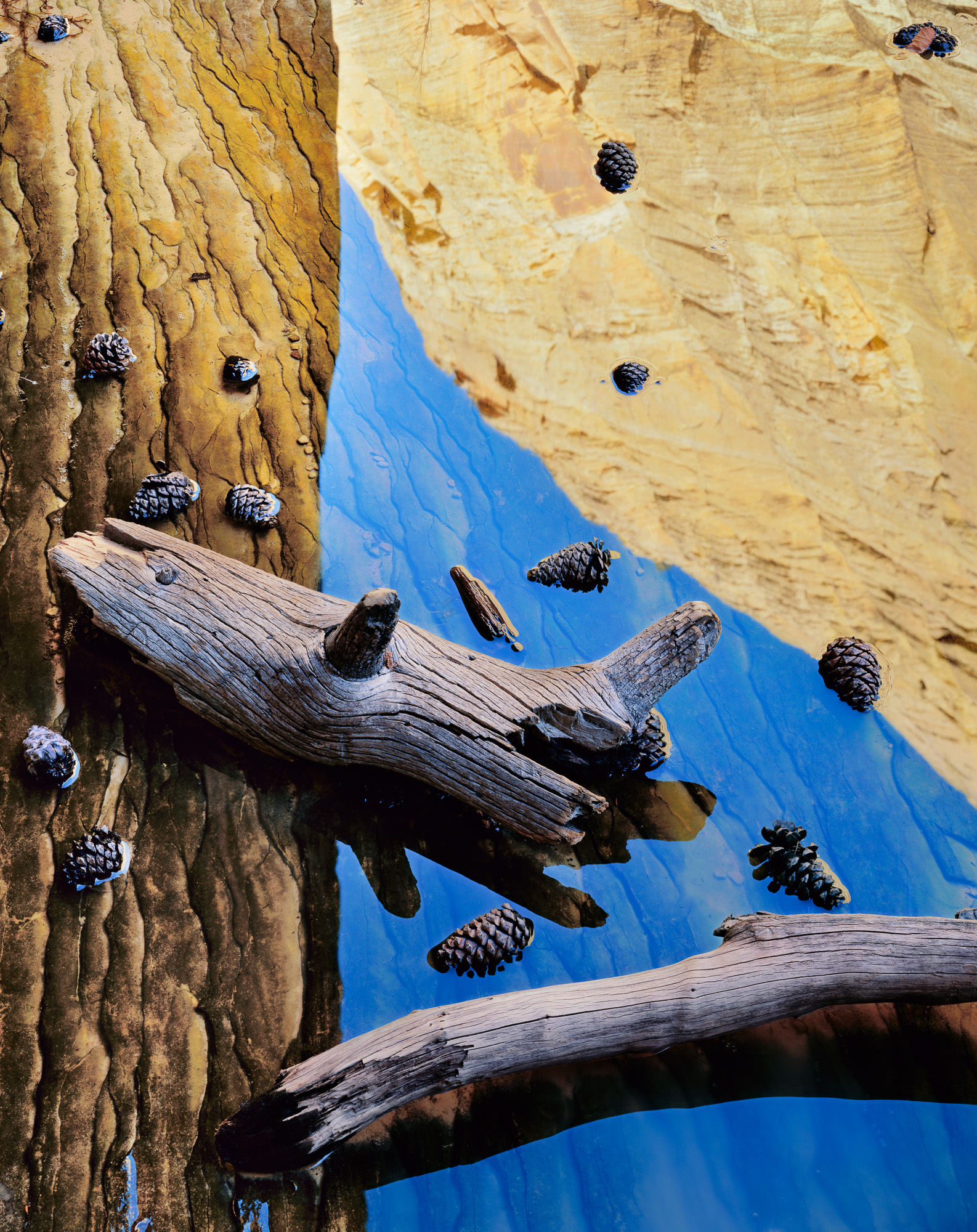
Grand Staircase – Escalante: Backpacking & Impact Remediation – WAITLIST
**THIS PROJECT INVOLVES MULTI-DAY BACKPACKING** The Landscape The 1.7 million-acre Grand Staircase-Escalante National Monument is an extraordinary landscape. The monument is world renowned for its remarkable paleontological discoveries, stunning scenery, and outstanding recreational opportunities. Local communities have benefited with significant increases in tourism, new businesses, population growth, and higher per capita income. Since its designation […]
-
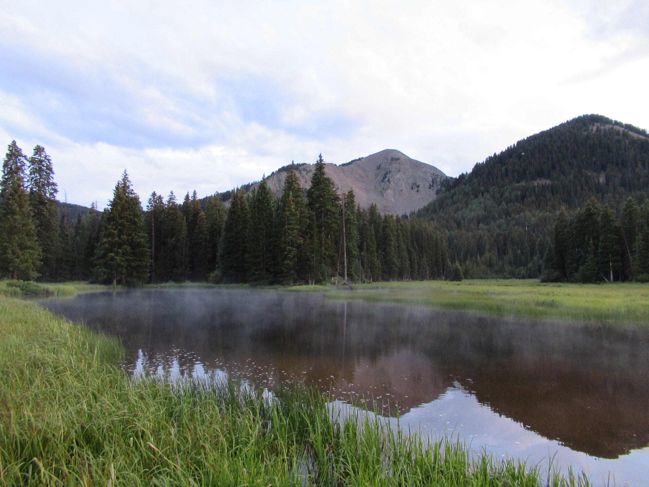
Latino Conservation Week Community Campout – FULL
*This project is full! If you are interested in joining a future Latino Conservation Week event, connect with SUWA's Comunidad Latina Organizer, Diana Haro at diana@suwa.org. The Landscape The Manti-La Sal National Forest covers more than 1.2 million acres (4,900 km2) and is located in the central and southeastern parts of Utah and the extreme western part of […]
-

Westwater Canyon River Clean-up for National Public Lands Day!
**THIS PROJECT INVOLVES WHITEWATER RAFTING** The Landscape The Westwater Canyon WSA spans the Westwater Canyon portion of the Colorado River with the eastern two-thirds of these protected lands located in the Dolores Triangle. Major tributary canyons on the east side of the river include Little Dolores, Marble, and Star canyons. A short box canyon, Little […]
-
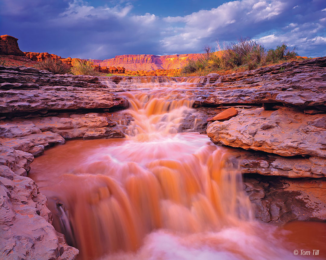
Indian Creek: Riparian Restoration
The Landscape With the designation of Bears Ears National Monument on December 28th, 2016, a new layer of protection was granted to some of the most spectacular places in southern Utah, including Indian Creek, access point to the Needles District of Canyonlands National Park and located in the northernmost region of the Monument. Paved roads […]
-

Stansbury Island Stewardship for National Public Lands Day
The Landscape Stansbury Island is a large island located in the Great Salt Lake west of Salt Lake City. It is part of Utah's magnificent northern landscape, but over recent years it has experienced more than its fair share of trash dumping. Let's celebrate National Public Lands Day by helping out this special place with […]
-
-

Grand Staircase – Escalante: Circle Cliffs Remediation – WAITLIST
The Landscape The 1.7 million-acre Grand Staircase-Escalante National Monument is an extraordinary landscape. The monument is world renowned for its remarkable paleontological discoveries, stunning scenery, and outstanding recreational opportunities. Local communities have benefited with significant increases in tourism, new businesses, population growth, and higher per capita income. Since its designation in 1996, Grand Staircase-Escalante has […]
-
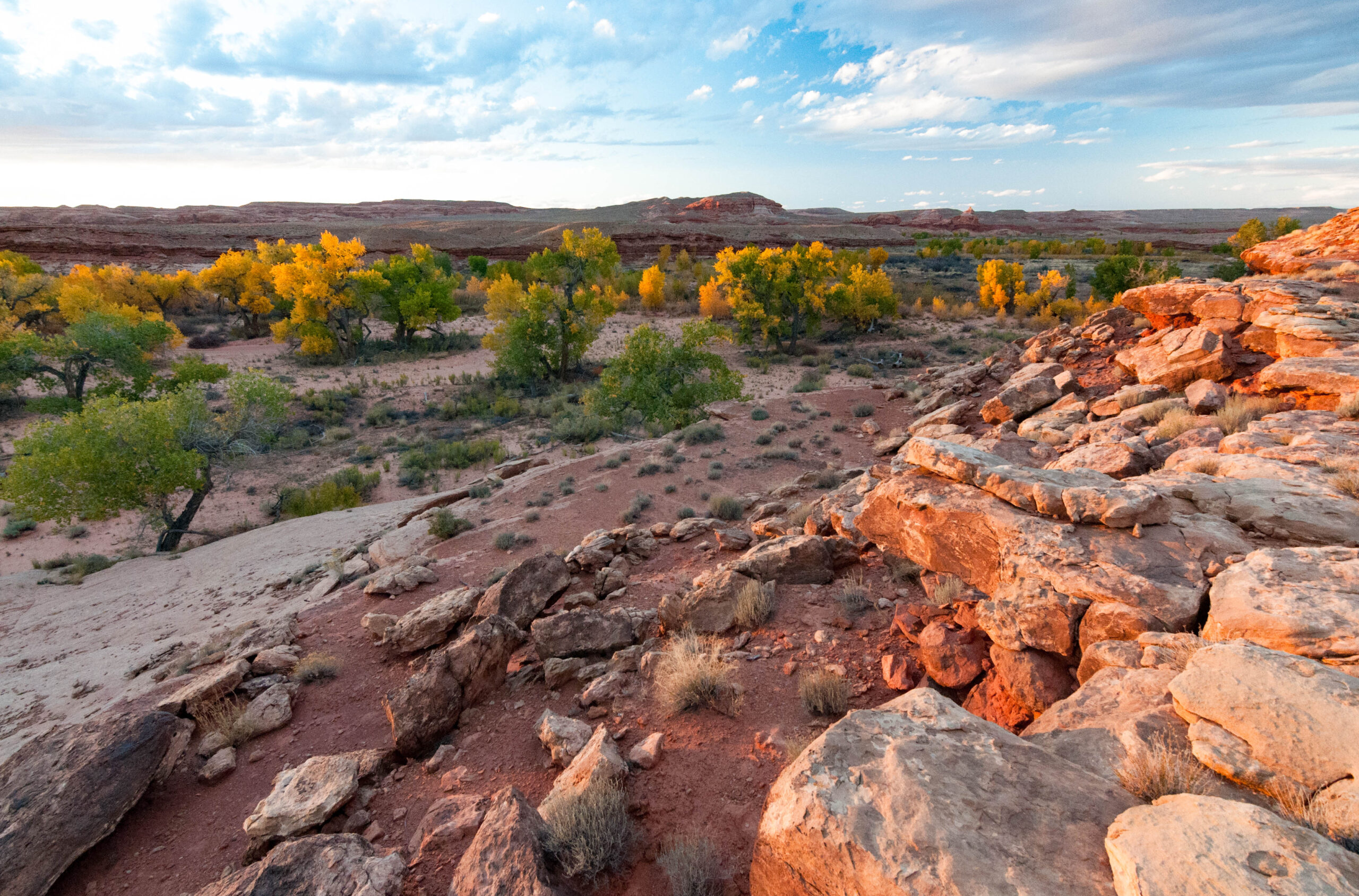
San Rafael Swell: Wilderness Implementation 2
The Landscape On March 12, 2019, the Emery County Public Land Management Act was signed into law as the John D. Dingell Jr. Conservation, Management, and Recreation Act. As part of that act, the Emery County Public Land Management Act protected 663,000 acres of public lands as designated wilderness, including acreage in Muddy Creek, Desolation […]

