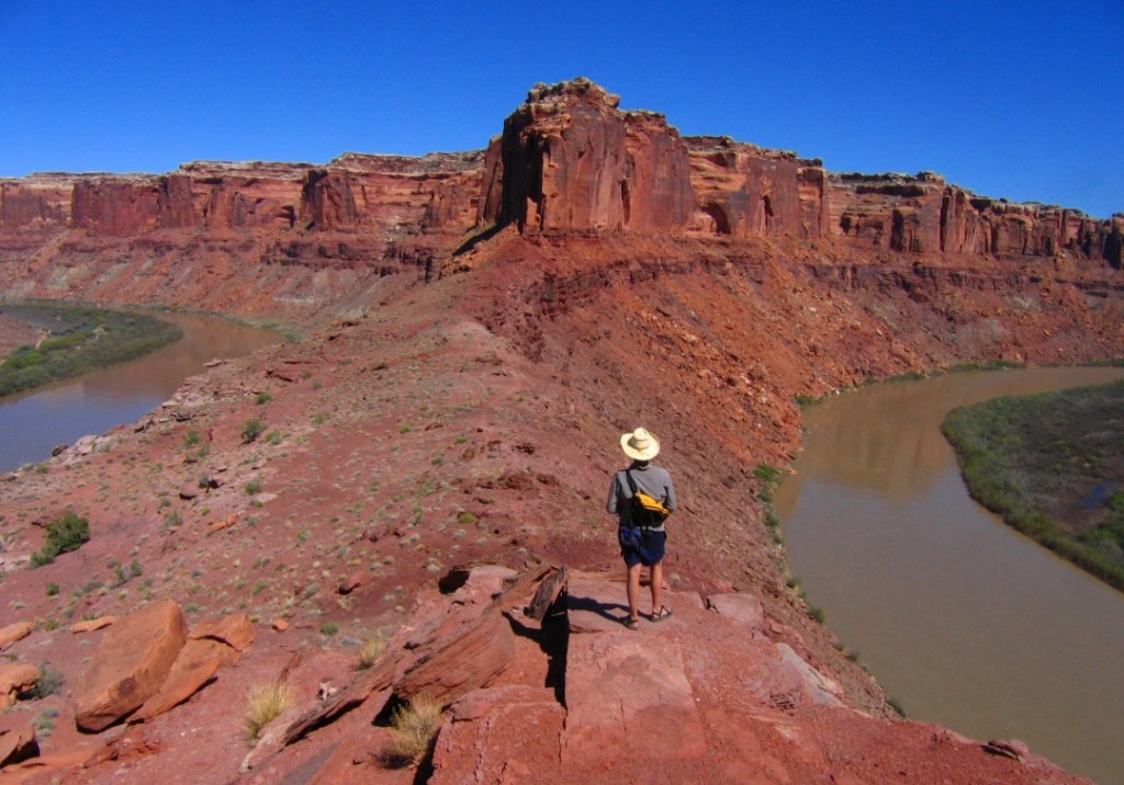
Every 15-20 years, the BLM is required by law to update the land use plans that guide agency staff in the management of our public lands. These plans, known as Resource Management Plans or RMPs, are something like city zoning plans that define which lands are open to development, where certain recreational activities can occur, which lands should be protected in their natural state, and so on.
In the final days of the Bush administration, the Bureau of Land Management (BLM) released six Resource Management Plans (RMPs) that now dictate how 11 million acres of iconic canyon country will be managed for the next two decades. The plans—covering the BLM’s Moab, Price, Richfield, Vernal, Kanab, and Monticello districts—put the spectacular redrock landscapes of southern Utah on the chopping block by increasing oil and gas drilling at all costs and catering to the single-minded demands of off-road vehicle (ORV) enthusiasts.
Some of the state’s most stunning landscapes—places like Desolation Canyon, the Book Cliffs, Fisher Towers, the San Rafael Swell, Parunuweap Canyon, and Labyrinth Canyon—were placed up for grabs. An early consequence was the controversial December 2008 lease sale, which threatened scenic landscapes near several national parks and put more than 100,000 acres of wilderness at risk. We challenged the six RMPs and won a major victory when a federal judge held that several aspects of the Richfield RMP violated federal environmental and cultural preservation laws.
In the aftermath of our court victory, SUWA and its conservation partners entered settlement negotiations to resolve the remaining five RMP lawsuits. After months of hard-fought negotiation, SUWA, the BLM and three ORV groups signed a settlement agreement in January 2017. The settlement agreement set out a schedule and process for updating travel planning decisions, reconsidering certain proposed land designations and incorporating air quality considerations into management of oil and gas leasing.
Specifically, the BLM must complete 11 new ORV travel management plans over 8 years, covering more than 6 million acres of BLM-managed lands in eastern and southern Utah. The agency also had to re-evaluate the Pariette cactus, Graham’s penstemon, Vermillion Cliffs and Henry Mountains potential Areas of Critical Environmental Concern, as well as the Happy Canyon and Buck and Pasture Canyons for wild and scenic river eligibility.
A new travel planning process provides the opportunity to develop reasonable, manageable and forward-thinking blueprints that ensure public access while preserving the backcountry and minimizing damage. It’s a second chance for the BLM to get things right by providing access to trailheads, scenic overlooks, and recreation opportunities while protecting the reason people want to drive to such remote areas in the first place: to enjoy the unspoiled beauty of Utah’s unparalleled public lands.
In the past decade, visitation to Utah has skyrocketed—fueled by the State of Utah’s advertising campaign and the rise of social media—and shows no sign of diminishing. More people are seeking out new types of recreation as technology changes: today’s ORVs are designed to go more places faster than ever before. We are also grappling with a climate crisis, bringing new challenges to Utah’s public land managers. Precisely because of these challenges, thoughtful and deliberate travel planning is critical.


