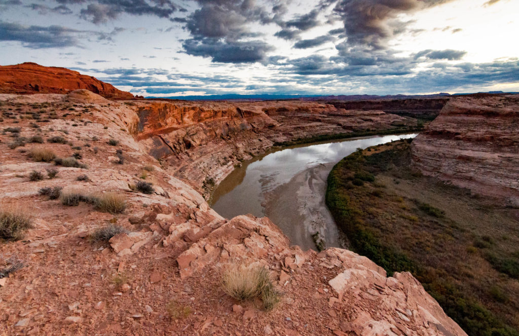
Last Friday, the Bureau of Land Management (BLM) released a draft travel management plan for the San Rafael Desert in Emery County, Utah that would more than double the number of miles open to motorized use—forever changing the area’s stunning and remote wild lands, and turning them into a playground for off-road vehicles.
The San Rafael Desert is a sublime area of Utah’s backcountry, encompassing the newly-designated Labyrinth Canyon Wilderness and wilderness-quality lands such as Sweetwater Reef and the San Rafael River.
Federal law requires the BLM to minimize impacts to natural and cultural resources when designating motorized vehicle routes. Instead, the agency’s draft travel management plan for the San Rafael Desert would inundate this remote area with off-road vehicle routes, increasing the miles open to motorized vehicles from 300 miles to more than 775.

Among other things, the BLM’s preferred alternative would:
- Designate as open to motorized vehicles more than 300 miles of routes that are reclaimed, reclaiming, or do not exist on the ground. Designating these routes is unnecessary and will damage desert soils, vegetation, riparian areas, cultural resources and wildlife habitat.
- Designate as open to motorized vehicles popular non-motorized areas such as Moonshine Wash (from the trailhead to the slot canyon), June’s Bottom, and along the San Rafael River.
The San Rafael Desert travel management plan is the first of thirteen travel plans the BLM will complete over the next six years as a part of a court-supervised settlement agreement with conservation and off-road vehicle groups. The plans will determine where motorized vehicles are allowed on some of Utah’s wildest public lands.
Tell the BLM to fulfill its legal obligation and keep motorized trails out of wildlife habitat, cultural sites, and other sensitive or inappropriate areas in the San Rafael Desert.
The BLM is giving the public only 30 days during the busy holiday season to review its proposed travel management plan and submit written comments.
Click here to submit your comments by January 13th.
Also be sure to check out our story map for more information, including maps and photographs of currently-designated and proposed motorized vehicle routes.

