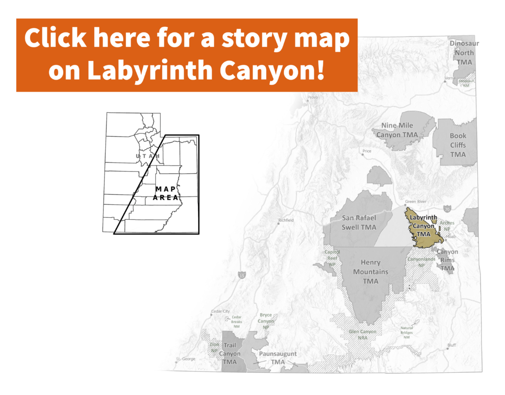
The Bureau of Land Management (BLM) is accepting comments on a draft travel management plan for the iconic Labyrinth Canyon area outside of Moab—a plan that will determine where off-road vehicle (ORV) use is allowed in this remarkable landscape for decades to come. Comments are due by October 7th!

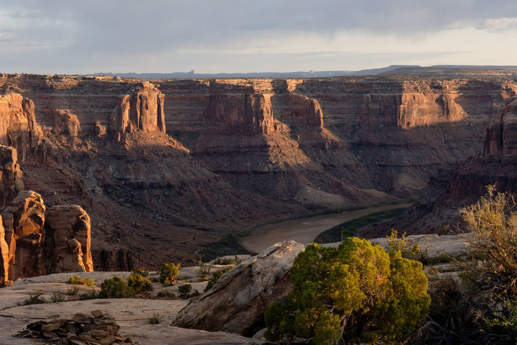
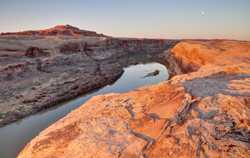
 Home to unmatched quiet recreational opportunities, as well as irreplaceable cultural and historic resources and important wildlife habitat, the Labyrinth Canyon region is a crown jewel of Utah’s backcountry. It encompasses the internationally-recognized Labyrinth Canyon stretch of the Green River, as well as its many side canyons including Mineral, Hell Roaring, Spring, and Ten Mile Canyons.
Labyrinth Canyon itself is a gem of the America West, where more than 40 miles of the placid Green River flow through towering canyons. This sublime stretch of river provides a multi-day flatwater wilderness experience that is suitable for families and boaters of all experience levels.
The west side of Labyrinth Canyon was designated as wilderness by Congress in 2019, and the river corridor is designated as a Scenic River under the federal Wild and Scenic Rivers Act. The east side of the Canyon is not yet designated wilderness. The BLM now has the opportunity to protect all of Labyrinth Canyon from ORVs that threaten cultural sites, riparian habitat, wilderness values, and the experience of recreationists seeking a quiet multi-day float.
The BLM has released four alternatives for the future of Labyrinth Canyon and Gemini Bridges. It is vital that the BLM hears overwhelming public support for Alternative B. Alternative B would finally protect the entire Labyrinth Canyon river corridor while reducing route density in spectacular areas like Gold Bar Rim, Deadman Point, Day Canyon and Ten Mile Point. Alternative B is the only option that protects Labyrinth Canyon and balances motorized recreation with the protection of natural and cultural resources and non-motorized recreation.
Click here to take action and tell the BLM to protect Labyrinth Canyon!
In your comments, please ask the BLM to:
- Preserve the wilderness values of Labyrinth Canyon, and ensure consistent protection on both sides of the Green River.
- Close the motorized vehicle routes that most significantly impact the canyon, including Hey Joe Canyon and Hell Roaring ORV routes, and Dead Cow and the Tubes motorcycle routes, as well as other routes that can be seen or heard from the river corridor.
- Select Alternative B, the only alternative that provides some balance to the Labyrinth Canyon/Gemini Bridges area by protecting the river corridor, cultural sites and wildlife habitat and removing excessive motorized vehicle routes.
- Minimize user conflicts by offering an escape from motorized recreation for people seeking quiet recreation.
- Reduce route density throughout the travel management area, including Gold Bar Rim, Deadman Point, Day Canyon and Ten Mile Point.
The Labyrinth Canyon Travel Management Plan is one of 11 new ORV travel management plans that the BLM is required to complete by 2025. Click here for more information and an overview of the travel management planning process.